

Uzbekistan stands at a crossroad in its water management journey – one where the challenges are as immense as the opportunities. Bordered by deserts and dependent on a legacy irrigation system, the nation has spent decades striving to make every drop count. But now, one unlikely alliance is doing something extraordinary – and the rest of the world might just want to pay attention.
Welcome to Uzbekistan’s most ambitious water management revolution yet, where GIS (Geographic Information Systems), satellites, and artificial intelligence are being deployed not just to monitor water – but to transform how it’s consumed, managed, and conserved.
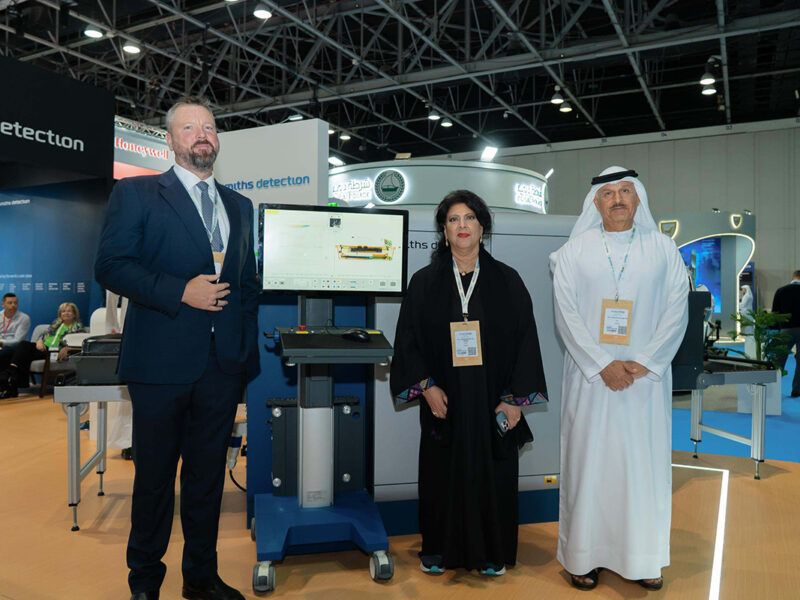
At the heart of this seismic shift is Uzbekspace, the national agency that’s teamed up with global geospatial giant Esri to digitise, optimise, and ultimately reimagine how Uzbekistan uses its most precious natural resource.
From buckets to bytes
For decades, Uzbekistan’s irrigation system relied on guesswork. Farmers worked with outdated maps, manual estimates, and a hope-for-the-best approach to water scheduling. It wasn’t sustainable, and the cracks were showing. Enter the Water Resource Management Project, powered by Esri’s suite of tools – ArcGIS Pro, ArcGIS Enterprise, and ArcGIS Field Maps.
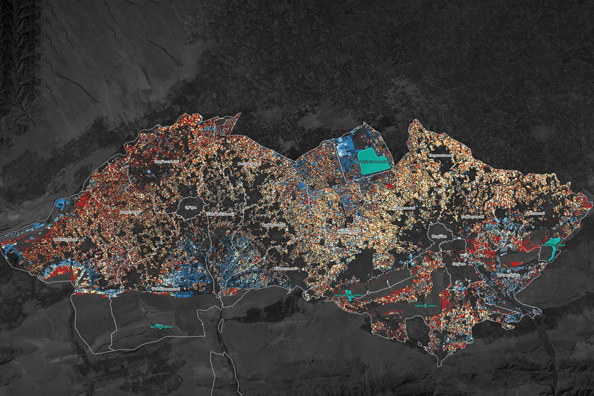
The project uses satellite imagery, AI, and remote sensing to monitor real-time water use, pinpoint stress zones, and drive smarter decision-making from the field to the ministry.
“In times of ecological upheaval and global warming, it is especially important for our region to focus on the rational use of water resources, optimising their utilisation by reducing water consumption and increasing water productivity. We believe that remote sensing (RS) and GIS technologies, enhanced by AI, will help us establish a monitoring and water management system at a fundamentally new level – where the key factor will no longer be water supply metrics but rather water consumption indicators,” says Mukhiddin Ibragimov, Vice Director at Uzbekspace.
Real results, real fast
The results have been swift and significant. With smart irrigation scheduling now in play, water wastage has been dramatically reduced – ensuring that every drop is used more efficiently. At the same time, precision-driven water management is boosting crop yields, a win not just for farmers but for the broader economy. Perhaps most critically, the rollout of a unified GIS platform has brought together farmers, agronomists, and government officials like never before, aligning everyone around a common set of real-time insights and shared goals.
This isn’t just about tech. It’s about delivering impact where it counts: in the fields, at the policy table, and in the lives of people who depend on agriculture for their livelihood.
Esri’s global vision, local impact
“Water scarcity is one of the greatest challenges of our time, and innovative geospatial solutions are key to tackling it. Through this collaboration, Esri is empowering Uzbekspace with cutting-edge GIS and AI-driven analytics to optimise water use, enhance agricultural productivity, and drive sustainability. This project is a testament to how location intelligence can revolutionise resource management, not just in Uzbekistan, but in water-stressed regions worldwide,” said Sohail ElAbd, Director, Esri.
It’s a lofty claim, but not without merit. The success of the project so far has already turned heads across Central Asia. With plans to layer in meteorological data and scale the model nationwide, this could be just the beginning.
A model for the future
In the words of Ibragimov, “By implementing satellite-based evapotranspiration monitoring across regions of Uzbekistan, we have shifted the focus from water supply estimates to actual water consumption data. This breakthrough enables a more precise understanding of irrigation efficiency, allowing us to optimise resource allocation and support sustainable agriculture. Leveraging AI-powered geospatial analysis, we are setting a new standard for data-driven water management that can be expanded nationwide.” One where technology, policy, and human ingenuity come together to protect not just crops – but a way of life.
Follow us on


Brand View allows our business partners to share content with Arabian Business readers.
The content is supplied by Arabian Business Brand View Partners.